Well it took long enough but winter is finally going to show its face tomorrow, better late than never. This isn't going to be as long as it could be cause I'm just too tired. Anyways, our first significant snowfall of the season is due tomorrow and tomorrow night....FINALLY! I've only had 2.1" thus far which is WAY WAY below average by this date in winter.
As usual, taking at the WV loop of whats going on.
http://weather.rap.ucar.edu/satellite/displaySat.php?region=EVV&itype=wv&size=large&endDate=20111020&endTime=-1&duration=12
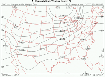
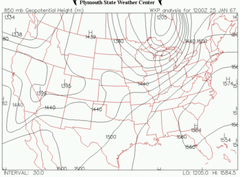
The southern stream wave is located over the eastern US with sfc low currently located over the IN/OH border down to 996mb which will slowly drift north later tonight and move into MI. As this is happening our main player is the deepening/amplifying trof over the central plains that will continue to dive southeast into MO and continuing to intensify as it then heads east during the day through southern IL tomorrow and into IN/OH tomorrow night.
0z NAM with our strong upper level system by tomorrow evening

Associated with the feature is a strong cold front with very cold air behind it. The front right now is closing in on the ole miss river southward through MO with much stronger winds behind it as well as light snow and temps in the teens and 20's. Whats amazing is we have only had a few events where we are in the 50's one day and a big snow and 20's the next day.

Snow will continue to increase in coverage to our west just behind the front and shouldn't get here till around 9am or after.

Once it gets going though it wont stop till the early morning hours on friday, the long duration nature of this event is one of the things is going to help pile up the snow. The heaviest period of snow should be from around 12-7pm tomorrow.

Another thing that is going to help snowfall production as well as size of the dendrites is what we call the DGZ (dendritic growth zone) This is a zone roughly between -10 and -20 degrees C in the atmosphere and typically where your best snow growth is located. The deeper the layer is, the better snowfall production we have. Thanks to Victor Gensini for putting this image together off the WRF. As you can see the temperature is in the layer from around 600mb down to 900mb which is extremely impressive.

For totals I am still riding my 4-7" call area wide with possibly higher amounts near the lake due to lake enhancement. Rush hour tomorrow afternoon is going to be hell so drive carefully.
Matt